The D&L Blog

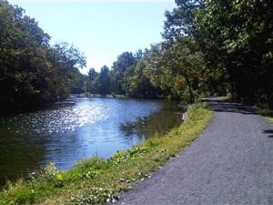
The Delaware and Lehigh National Heritage Corridor (D&L Trail) is known for its beautiful pathways that offer scenic views of the Delaware and Lehigh rivers, wildflowers, birds, and other wildlife. While most people use the trail for activities such as hiking, biking and running, there are some individuals that use it as ground for their treasure hunts.

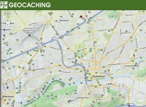
Geocaching has become very popular within the past few years, especially along the Lehigh River in the Lehigh Valley. Instead of the old fashioned treasure map that has an “X” to mark the spot of a treasure location, people use geocaching.com to log GPS coordinates where their treasures are hidden.
Geocaching is a real-world, outdoor treasure hunting game using GPS-enabled devices. Participants navigate to a specific set of GPS coordinates and then attempt to find the geocache (container) hidden at that location.
This is an activity that anyone can participate in and it only has a few rules: If you take something from the cache, you have to leave something of equal or greater value. After you find the cache, write about your find in the logbook that is with it and log your experience at www.geocaching.com.
If you have always wanted to go on a real-life treasure hunt, you might want to give Geocaching a try this summer.


