The D&L Blog

By Brian Greene, D&L Trail Programs Manager
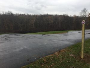
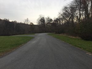
Where does the trail go in the photo above? Is there a trail if there are no paths, signs, or markings? This might be a better question and these are all questions that our staff struggled to answer. And if our own D&L staff members do not know the answer, how are trail users supposed to know? After much internal discussion, the D&L has decided to re-route the mapped trail between Route 33 Boat Launch and Hope Road. The previous route suggested using the Route 33 Boat Launch Access Road. Due to safety concerns and trail user demand, we have decided to stay true to our roots and suggest the historic towpath as the appropriate trail route.
Please be advised that this trail section is mostly singletrack with a natural surface of dirt and rocks. We consider this section unimproved and it is narrow in places. As always, use caution and respect other trail users. There are two specific places to be extra cautious:
- As you cross Hope Road at the western end of this singletrack section, please be courteous of those accessing the Bethlehem Boat Club. This is a private, fenced club property and not open to the public.
- On the eastern end of the singletrack section, the trail is aligned directly on the boat launch and through the trailhead parking lot. Please use caution when sharing the Route 33 Boat Launch with vehicles and boat trailers.
On November 18, the D&L Trail Tenders worked on a chilly morning to install 7 posts and 16 signs that will provide trail users with directions and mile markers to navigate this tricky section. We hope that our trail users will benefit from these signs and all volunteers’ efforts to improve the D&L Trail.


