D&L Trail Maps

Map out your adventure
Below are links to our four trail maps and guides. Download a pdf or visit one of our partner sights to get a printed version. You can also visit our interactive web map to see up to date trail conditions.
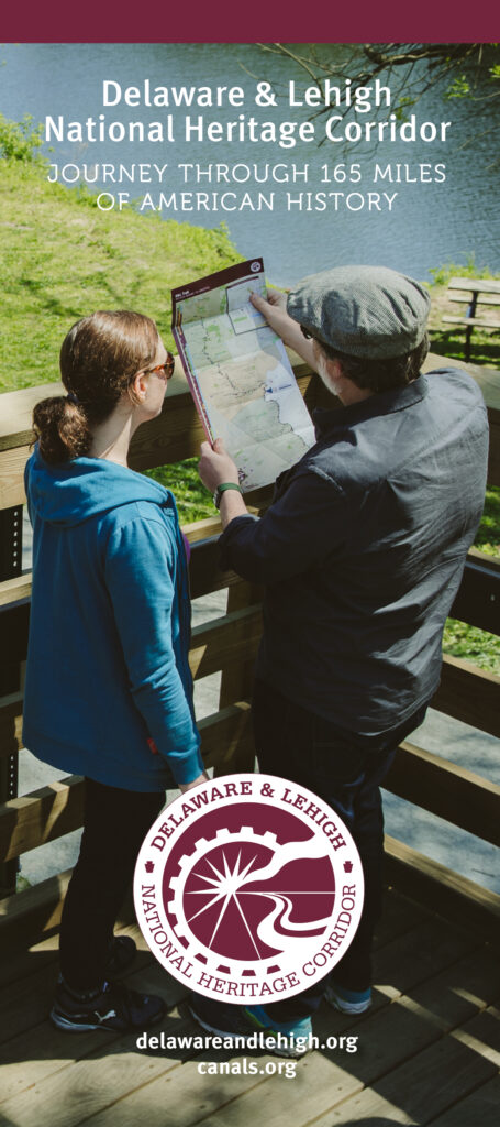
Delaware and Lehigh National Heritage Corridor Brochure
The D&L Trail has a presence in every community along its 165-mile path, and our easily accessible trailheads create meaningful experiences for our users on a daily basis. From the mountains of northeastern Pennsylvania through the Lehigh Valley and Bucks County, the D&L connects people to places, and helps form lasting relationships and opportunities to positively impact the region. Find your D&L! Each region is unique and offers diverse ways to experience and celebrate eastern Pennsylvania’s most vibrant Corridor. Ride the only mule-drawn canal boat in the state, paddle a river, hike a trail, visit a museum, ride your bike, go fishing, grab a bite to eat, listen to music, take a walk, or just take in the scenery. Use this guide to find unique places to explore and enjoy.
Anthracite Region Trail Map & Guide
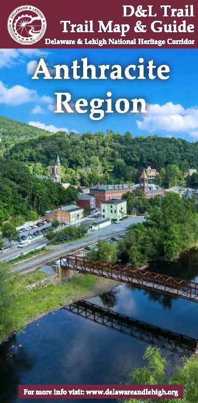
The story of “where America was built” begins in the Anthracite Region. This region is a striking landscape. Its rich natural resources and outdoor recreation opportunities set it apart from the rest of the D&L Trail’s route.The D&L Trail begins near the city of Wilkes-Barre, along the green, rolling hills of the mighty Susquehanna River. The discovery of anthracite deposits here triggered urban development, which resulted in a string of towns, industries, mines, roads and rail lines to the south.Today, the spectacular Lehigh Gorge State Park links the Wyoming Valley to the Lehigh Valley. This scenery contrasts sharply to former industrial and mining communities. While these locales maintain rich architectural and cultural ties to the past, the pioneering spirit of the D&L Anthracite Region can still be felt.
Lehigh Valley Region Trail Map & Guide

Lehigh Valley, the heart of “where America was built.” The Lehigh Valley produced the literal building blocks of our nation; slate, zinc, and limestone for cement were processed here. In addition, iron and steel fueled local economies and impacted industrialization around the world. The Lehigh Valley’s unique combination of towns, cities and farmland continues to shape the region. Today, the D&L Trail follows the canals, linking communities, economies, and landscapes of the Lehigh Valley to its Northern and Southern counterparts.
Delaware Canal Region Trail Map & Guide
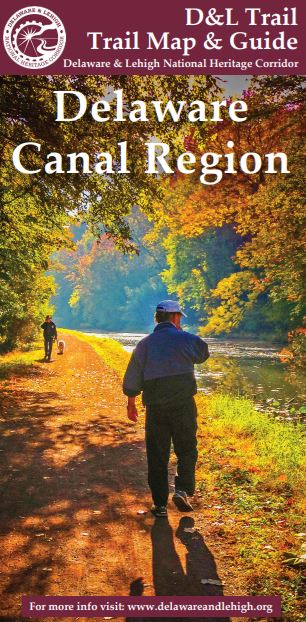
From Easton to Bristol, the Delaware Canal moves through yet another distinct portion of the D&L Corridor. The region along the upper Delaware Canal largely escaped the effects of heavy industrialism. The continued use of the waterways preserved the area’s natural resources. Meanwhile, successful agricultural production and gentleman farmers helped maintain a rural aesthetic charm. The pastoral land near the Delaware Canal, with its fieldstone houses and covered bridges, was one of the cradles of the American Revolution. Industrial and commercial development changed the landscape of Lower Bucks county dramatically. The region quickly became a destination for families and visitors alike. The contrast between the relatively recent industry and the remaining historic landscape is striking — a must-see along the D&L Corridor.


